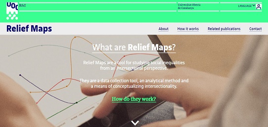
Relief Maps are a tool for studying social inequalities considering the intersection of different social categories (such as gender, social class, age or ethnicity) together with the geographical dimension (places in daily life) and the psychological dimension (emotions).
It was created by researcher Maria Rodó de Zárate as a methodological tool for qualitative research on social inequalities from an intersectional perspective. The digital version of Relief Maps has been designed by Maria Rodó de Zárate in collaboration with Universitat Oberta de Catalunya, and is now ready to be used online in the website reliefmaps.cat.
The Relief Maps website has two basic functions: it allows creating your project and defining your own models to collect and analyse data from your research participants or taking part in a project and get to know your own map.
Find out more about the possibilities that Relief Maps offer to be used for research, teaching, management purposes and social intervention here.
You can easily learn how to use the tool in this video:
Relief Maps: new digital tool for the analysis of social inequalities
