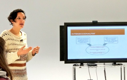
Maria Rodó de Zárate, Juan de la Cierva postdoctoral researcher at GenTIC, has presented the Relief Maps project at the R&I Meeting Days of Universitat Oberta de Catalunya (UOC). The session was addressed to UOC members, who learned how to use a new tool to collect, analyze and visualize data about social inequalities.
Relief Maps are a methodology for studying inequalities from an intersectional perspective by relating three dimensions: society, geography and psychology. The tool is now available online at the website reliefmaps.cat, a free and open-access site that facilitates data collection and enables both qualitative and quantitative analysis on the perception of discrimination in relation to various axes of inequality: gender, sexual orientation, origin, ethnicity, social class, age and disability.
The Relief Maps website has different options and applicabilities:
Using the Relief Maps tool, you can create projects and define your own models for data collection. Select the categories and places you want to research, and then send a link to research participants.
Relief Maps can be also used as a pedagogical tool for the study of power relations and social inequalities, as it permits to reflect on one’s own positionality and get to know your own map.
Check out the presentation of Maria Rodó de Zárate about Relief Maps at the UOC R&I Meeting Day:
The Relief Maps project won the prize for social impact at SpinUOC 2018, the UOC’s annual entrepreneurship and knowledge transfer event. See Maria Rodó de Zárate‘s presentation in the event: